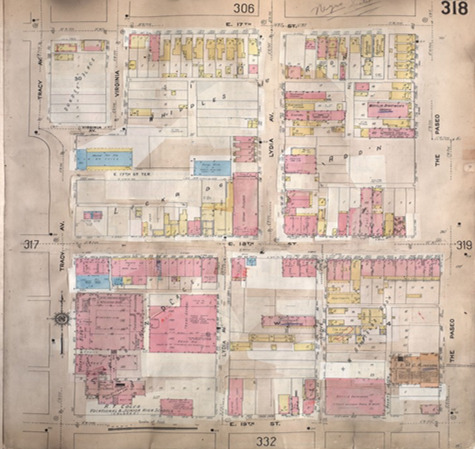
Sanborn Map, Kansas City, MO, P. 318. 1909-1957
This file appears in: Kansas City Missouri 18th and Vine District
Sanborn Map of 18th Street, Kansas City, MO, P. 318. 1909-1957. 18th Street is seen in the middle of the map.
This file appears in: Kansas City Missouri 18th and Vine District
Kansas City Missouri 18th and Vine District
Before the Civil War in 1860, the population of Kansas City was 4,418, which included 190 enslaved residents. Once freed, blacks were forced into segregated areas in the city. Between 1860 and 1870 many former slaves came to the city looking for…
